
Episode 03: Inner the Abyss
My Third Ski Tour on Mount Rainier
Mission:
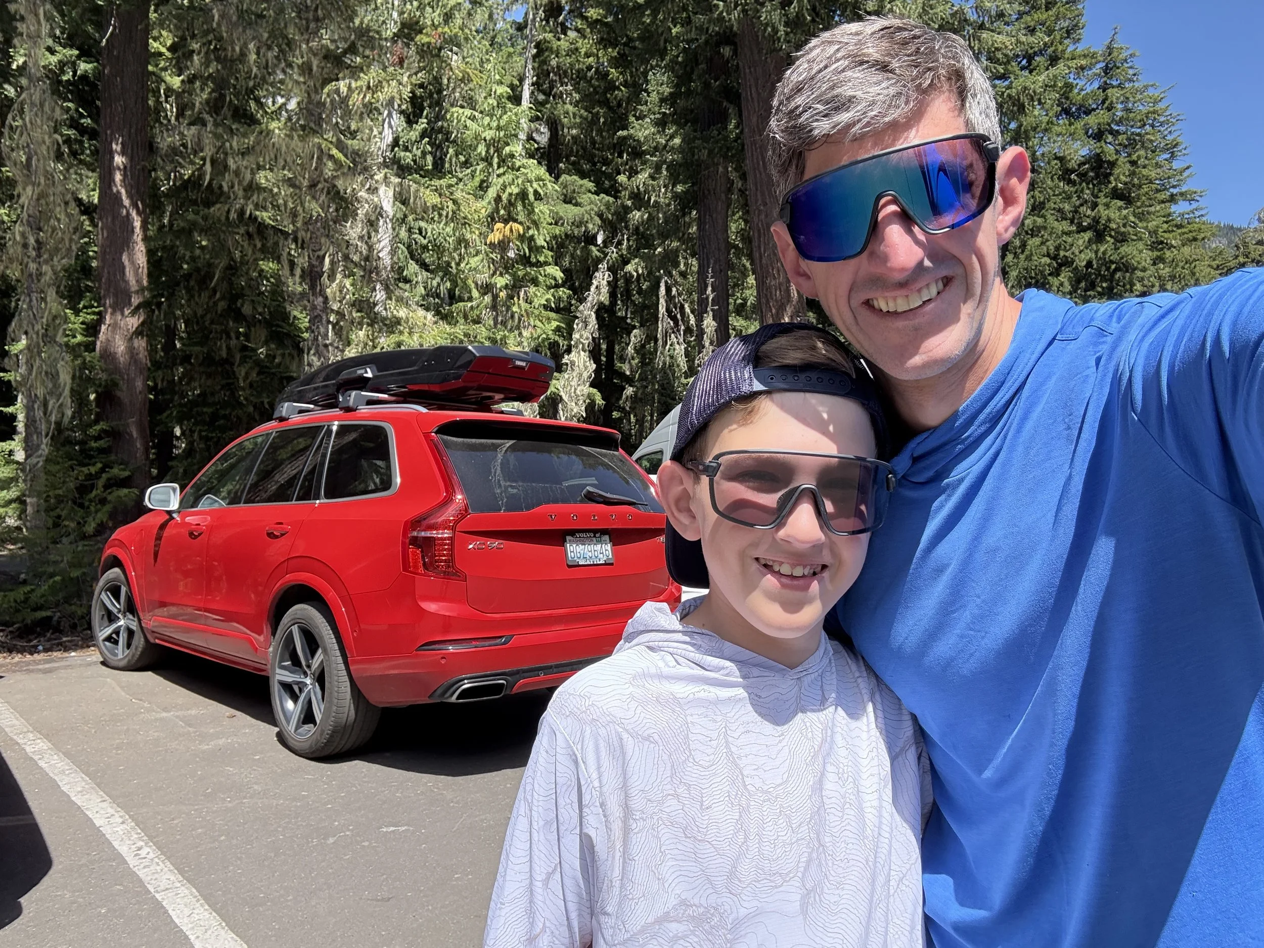
We planned to leave Seattle around noon, arriving at White River Campground early enough to hike the approach trail, transition to skis at the snowline, tour up to the Inter Glacier, and establish camp before sunset. Then we'd ski back down the following day—returning home after stopping for dinner. Little did we know, plans change abruptly in the mountains.
Route Day 1 (Approach & Ascent): White River Campground (4,400 ft) → Glacier Basin Trail → hike through forest to snowline/ski transition (~6,000 ft) → Glacier Basin (~6,000 ft) → St. Elmo Pass vicinity (~7,400 ft) → traverse onto Inter Glacier → establish camp (~9,200 ft), just below Camp Curtis
Route Day 2 (Descent): Camp (~9,200 ft) → ski Inter Glacier → exit glacier (~7,800 ft) → ski down to St. Elmo Pass vicinity → Glacier Basin → ski as far as snow allows (~6,000 ft) → transition to hiking boots → Glacier Basin Trail → White River Campground
Distance & Gain:
Approach hike: ~3.5 mi / 5.6 km, ~1,600 ft / 488 m gain (to snowline)
Ski tour: ~3 mi / 4.8 km, ~3,200 ft / 975 m gain (from snowline to camp)
Total ascent: ~6.5 mi / 10.5 km, ~4,800 ft / 1,463 m elevation gain
Descent: reverse with same mileage
Unlike the Paradise routes I'd done before, the White River approach is way longer. If you're planning this trip, budget 6–8 hours for the full ascent with overnight packs. You'll also need a wilderness permit—reserve one online or grab it at the White River Wilderness Information Center.
Ascent:
Waiting in long lines is never fun, especially before an adventure. On the 4th of July weekend, Mount Rainier was a madhouse. While waiting in line at the ranger station, I hopped into Tristan's van and talked with Jesse about the ski tour.
When we finally reached the rangers, they gave us our wilderness permit for the Inter Glacier. The rules were simple: camp on the snow, and we'd heard there were already established tent platforms dug in around 7,000 ft. But either the location info was way off, or we completely missed the spot—because we ended up having to climb nearly 2,000 ft higher than planned to find a place to camp. This was a huge game changer and added at least two extra hours to our already long trek.
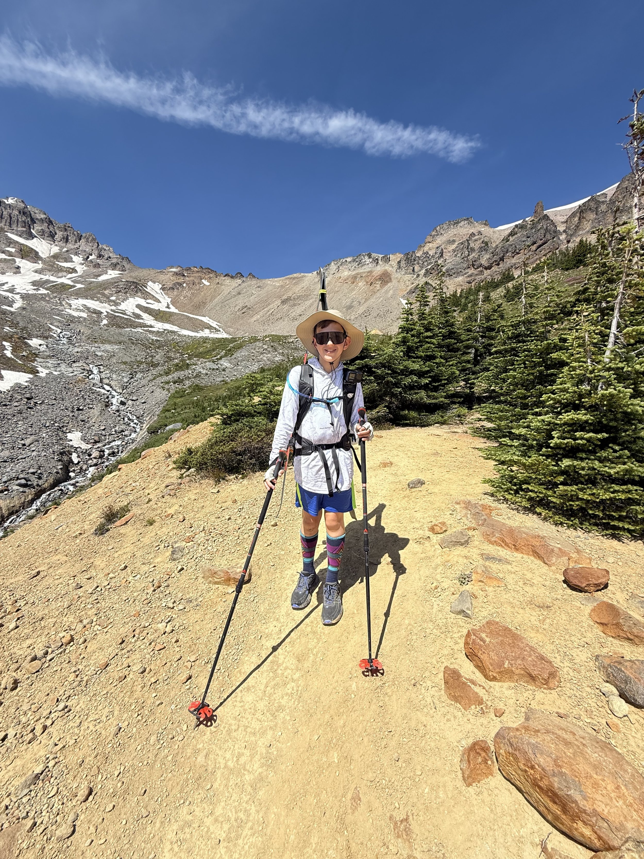
After leaving the ranger station, we shouldered our packs. Because of the extended trek, we were carrying 30-pound packs—a reminder that we were going to be suffering for the next two days. But hey, like I always say: bad skiing is better than no skiing.
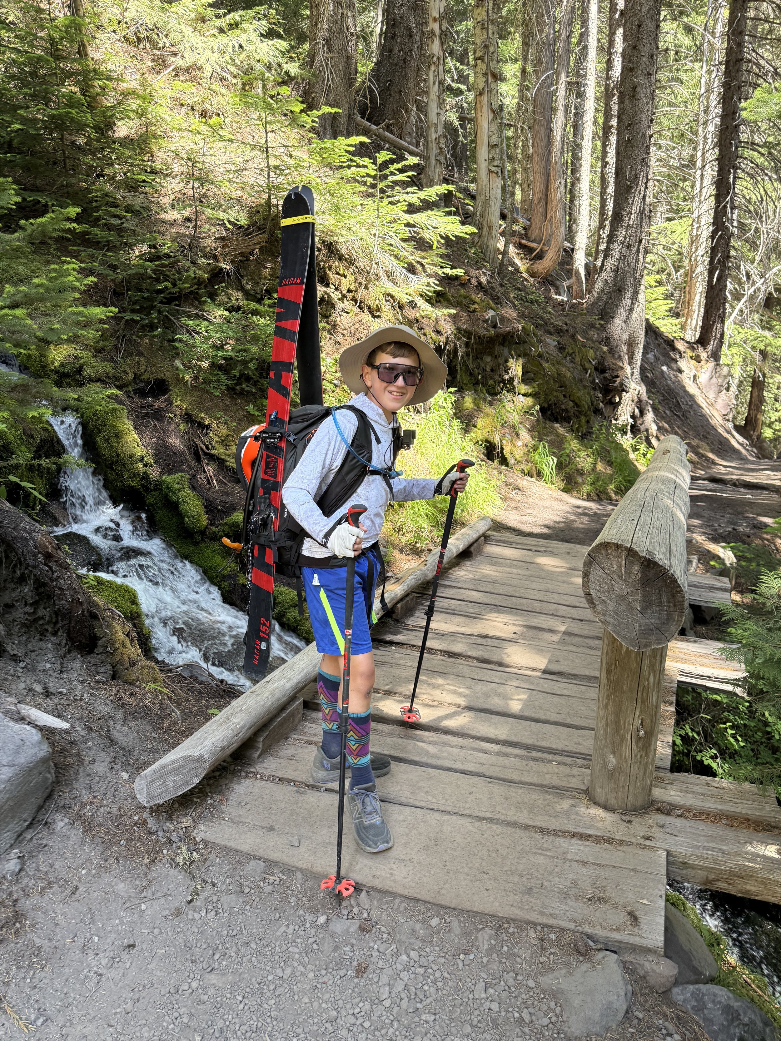
The start of the hike was fairly easy. The Glacier Basin Trail follows an old mining road for the first couple miles, so it's wide with plenty of logs to sit on and other nice resting spots. But after we started crossing some sketchy bridges, we knew this trail would get harder. After about an hour, we were getting whipped by grass blades from the sides of the trail and walking past steep cliffs. Once we approached Glacier Basin at around 6,000 ft, we took a quick break while all in silent denial about how far we still had left to go. We were struggling, and could not even see snow.
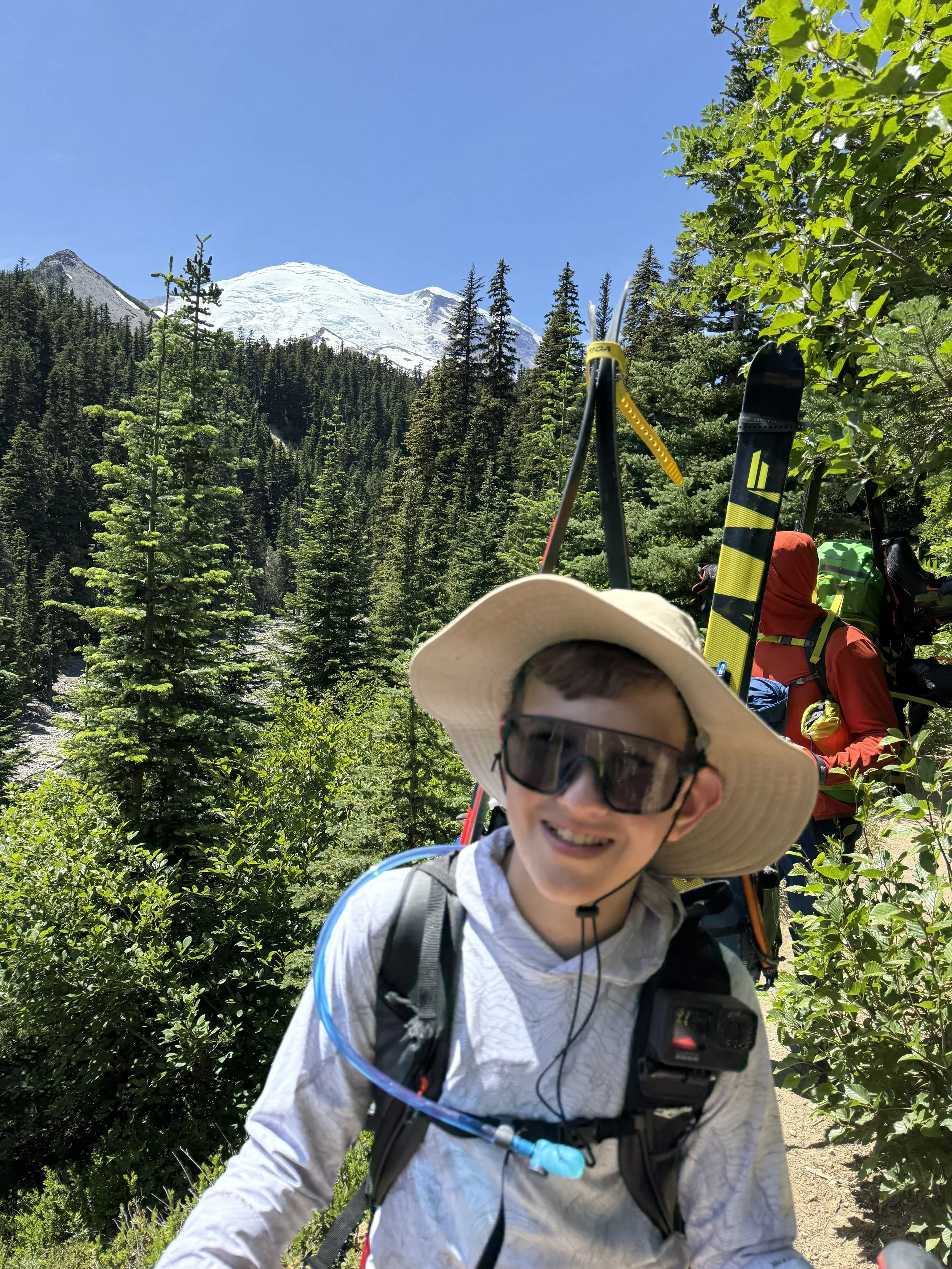
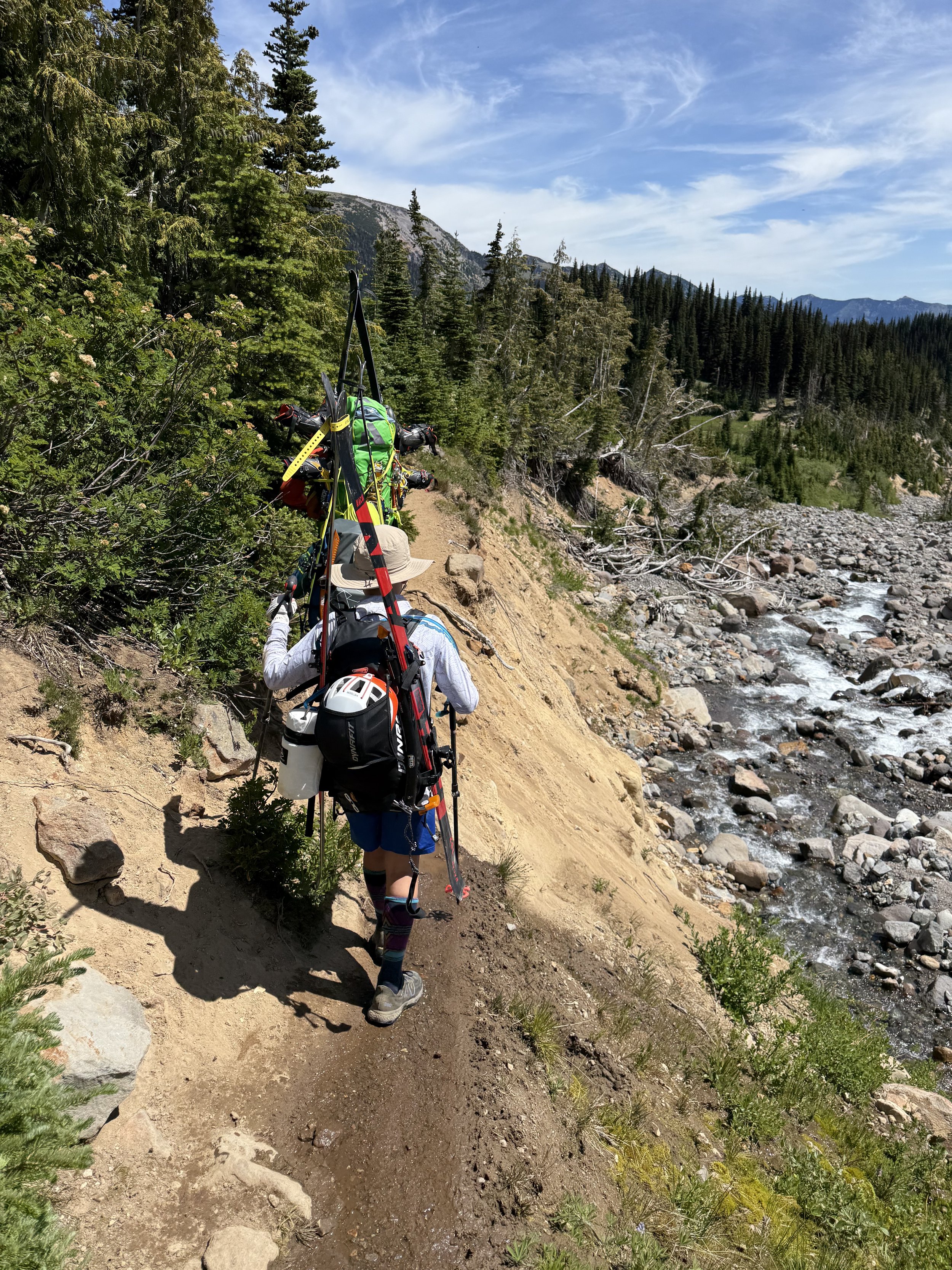
After that reality check, we continued hiking until we hit a massive glacial moraine—a big pile of sand and rock that stretched for half a mile. At the start of the glacial debris, there was an extremely exposed traverse where you could easily fall down a steep cliff into the river. This lateral moraine below St. Elmo Pass is honestly the sketchiest part of the whole route for hikers. The trail is faint and loose, so take your time and test your footholds. Trekking poles help a lot.
After this terrifying experience, we pushed up to the top and finally reached the snowline. After briefly considering a clearly unauthorized campsite, we started ascending toward the Inter Glacier on an increasingly steep slope. After about half an hour, it got a lot steeper—about 35 degrees—and the terrain became tighter and more rocky.
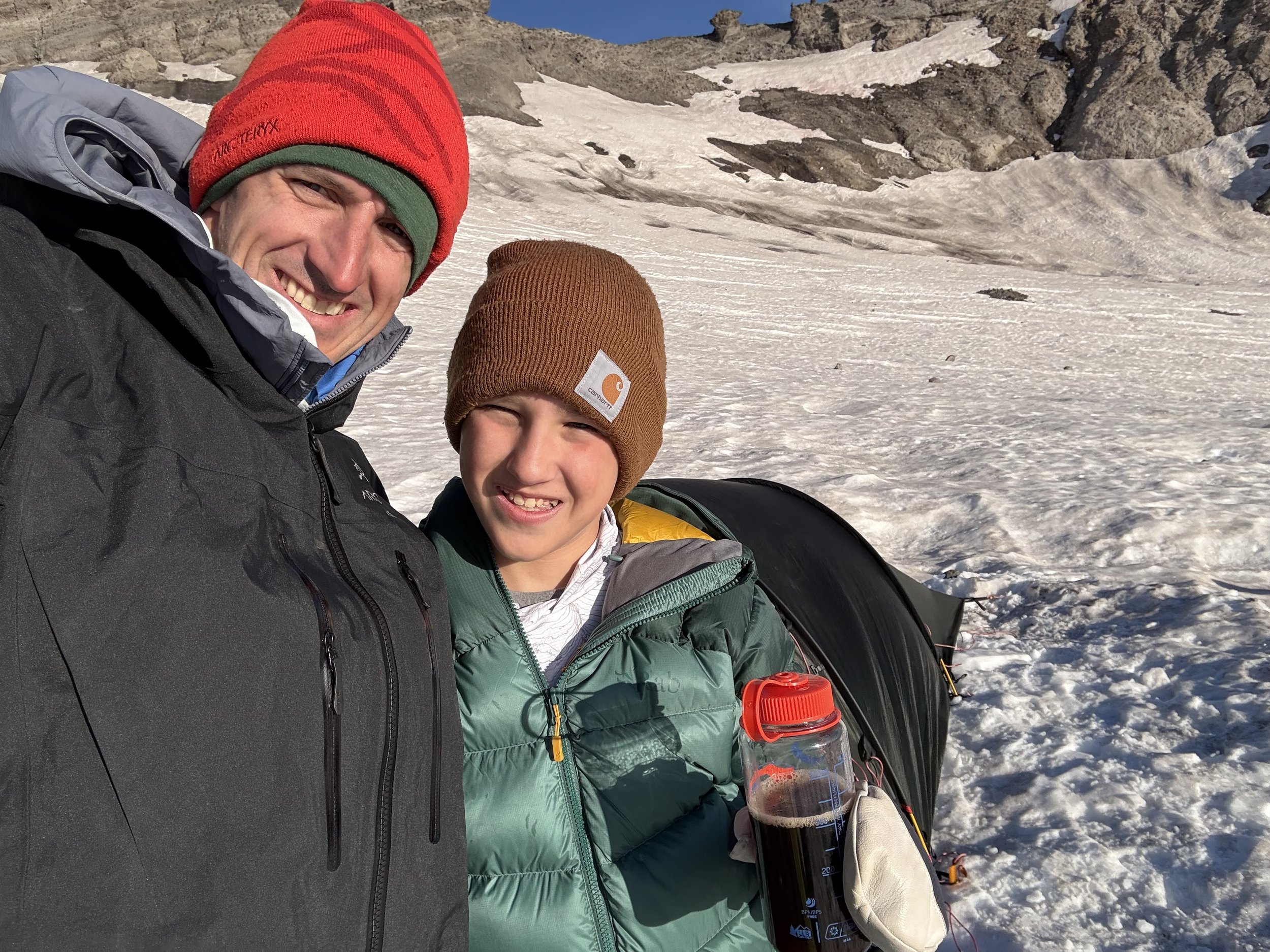
After what felt like forever, we crested the ridge and reached the flats above the steep basin. All conversation had stopped as we traversed the ridge and found our finally found tent platforms at around 9,200 ft, across from Camp Curtis. From our tents, we had spectacular views of Little Tahoma catching the evening light.
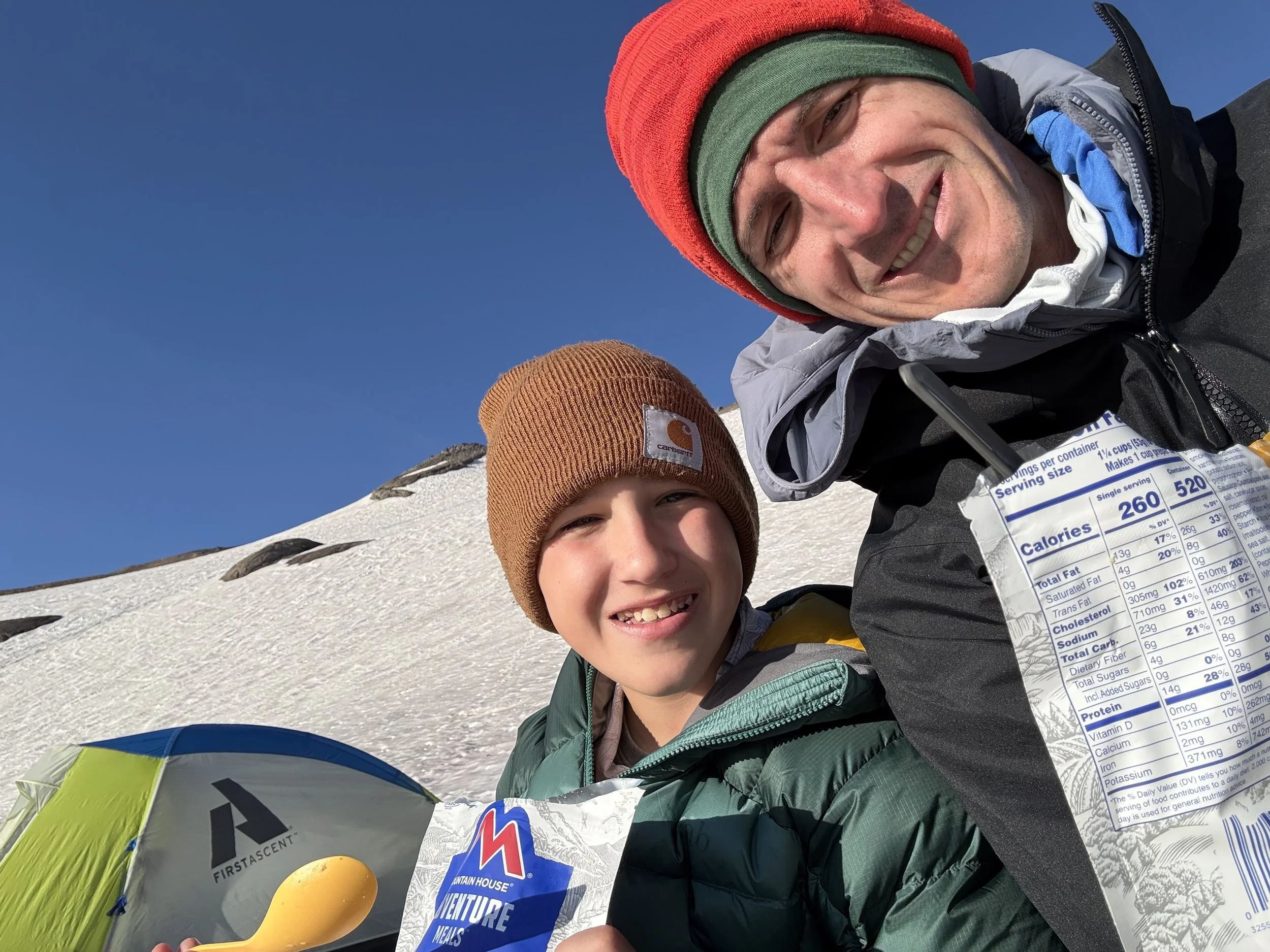
At nightfall, we finished setting up the tents then got to work on the miserable task of filtering freezing water and melting snow. By the time our freeze-dried pasta was ready, our hands were pretty much frozen solid. Fortunately we had dry clothes and very warm sleeping bags. Around midnight, I woke up to Jesse's voice from his tent. He told us the altitude had made Tristan sick, and in the morning we would have to ski down as soon as the snow was soft rather than touring higher towards Camp Sherman.
The next morning, I woke up to blinding light coming from over the valley. My dad and I prepared some scrambled eggs from the camping food bags to warm up. Critically, my dad made coffee, and then made me drink some gross carbohydrate goop for the long day ahead. Unfortunately, Tristan was still not feeling well–but we still had to wait a few hours for the icy surface to soften into shredable snow. We took our time breaking down camp, and repacking our gear, then started our descent at about 10:00 AM.
Descent:
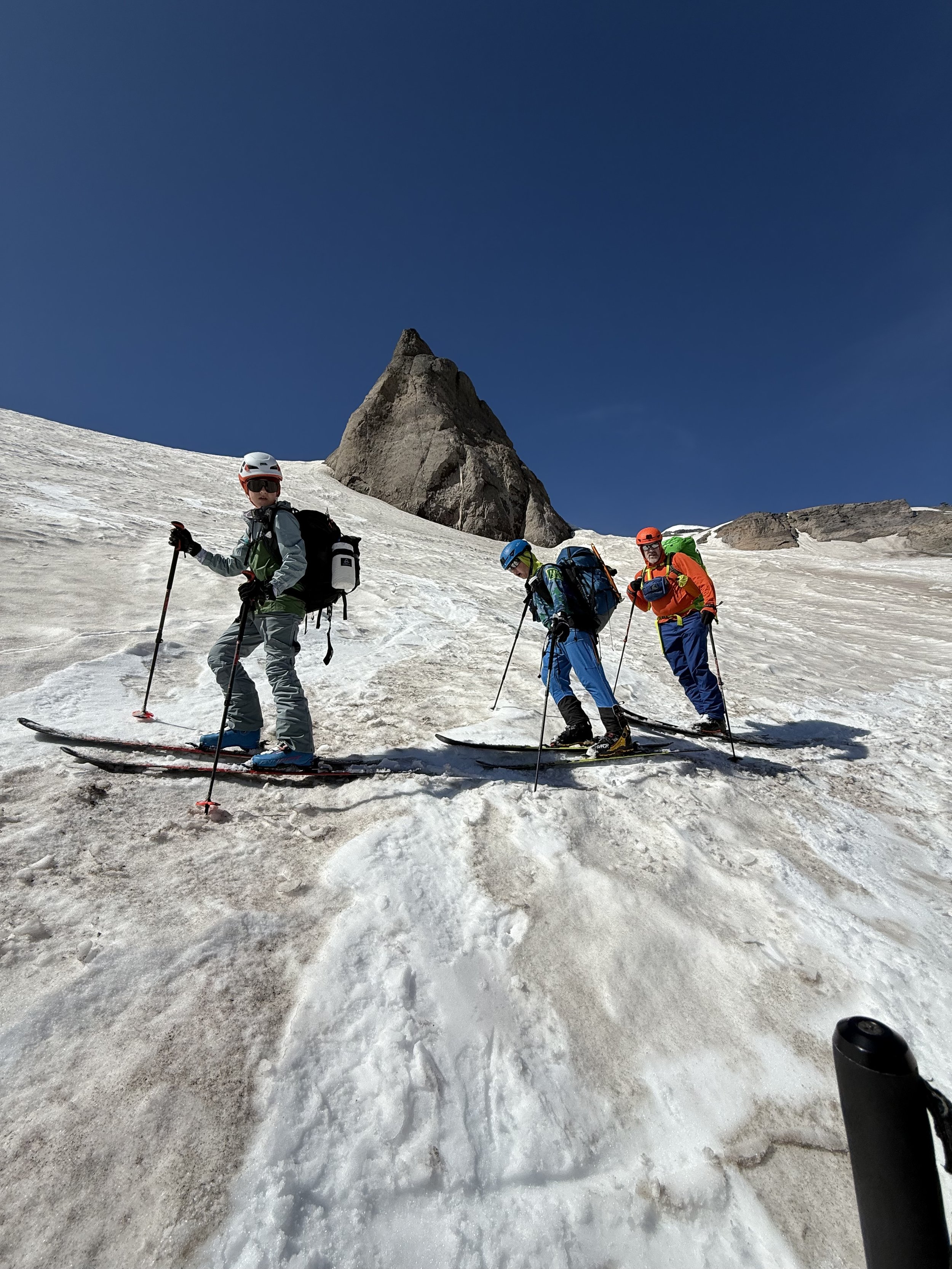
The first section we descended was the flats overlooking the ridge above the steep basin. We had to be very careful descending from here. To ski the glacier, you have to find chutes that cut through the rocky outcroppings. Luckily, there were glissade marks everywhere that led us towards the best lines.
When we got to the steep chute's first pitch, we dropped into a full 35 degrees. We dodged the rocky sidewalls while linking quick, fast turns through the slushy sun cups. Unfortunately, the closer we got to the bottom, the more we could hear rocks clanking against our ski bases. Late-season Inter Glacier skiing is like that—thin coverage over glacial debris means your skis will leave with battle scars.
When we reached the bottom of the basin, the terrain flattened into little streams of snow weaving between rocky meadows. The skiing was mellower than the Nisqually Chute, but it was still a thigh burner.
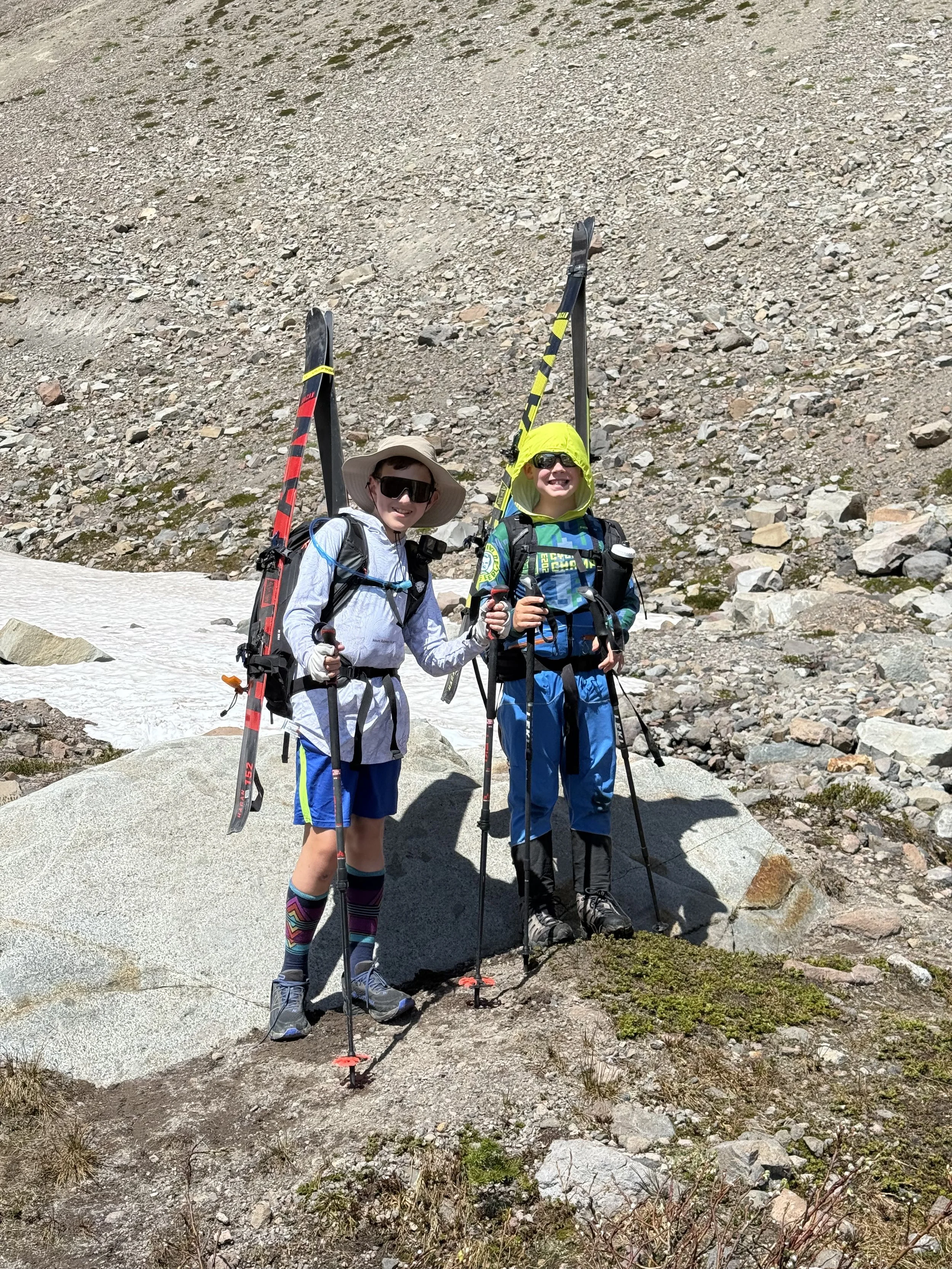
When we popped off our skis and pulled off our boots, it was also time to change from snow gear to hiking gear. Unfortunately, I accidentally left my GoPro on and filmed the whole process–I won’t be including that footage in the blog. After the descent to thicker air, Tristan immediately felt better. To celebrate, we played in the stream, redirecting the water flow with rocks. Once our dads were fully ready, we threw on our packs and headed down the trail.
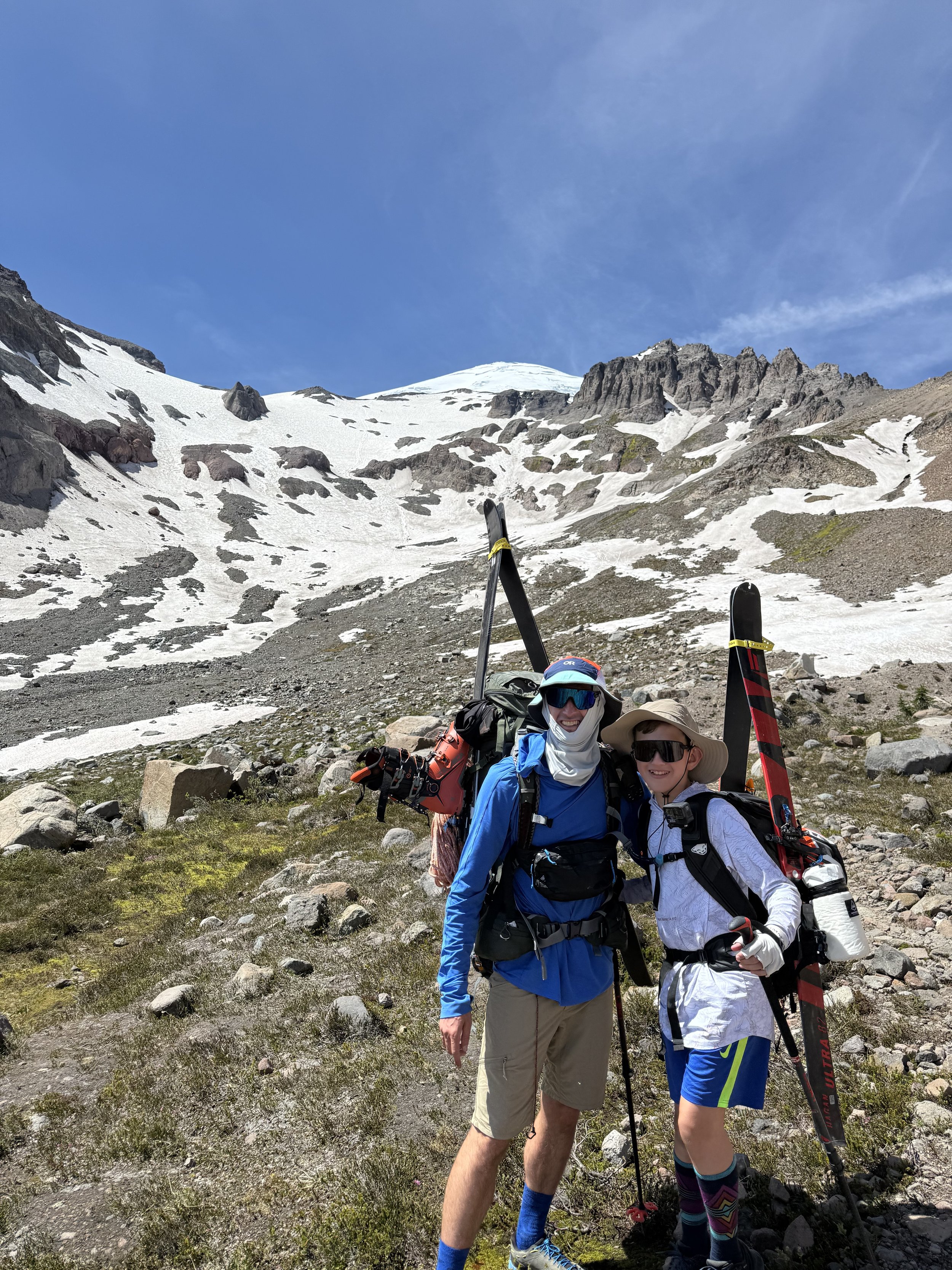
Because of some planning issues, my grandparents were in town at the same time as this adventure, so we were already missing half of their visit. If there was one critical milestone, it was making it home in time for dinner with my grandparents to keep my mom happy. So we ran down the trail and avoided almost any detours. When we finally made it to the parking lot, we dropped our packs and instead of a full lunch, we crushed instant mac and cheese to refuel before hitting the road.
Final Thoughts:
The Inter Glacier has definitely been my most grueling journey so far, with the smallest amount of actual skiing relative to the massive effort of getting to snow. Maybe that is the price you pay for late season snow.